
Tel Aviv marks Green Line on classroom maps, bucking Education Ministry
City says line showing West Bank as separate teaches ‘complex reality’ on the ground; ministry dismisses illustration as ‘amateur,’ notes it’s not approved ‘even as a poster’
")
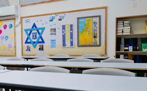
The Tel Aviv-Jaffa Municipality has distributed a map of Israel to the city’s schools that demarcates between Israel and areas in captured in 1967, defying an Education Ministry edict prohibiting maps that show the Green Line.
Tel Aviv Mayor Ron Huldai vowed the maps will remain on classroom walls in his city.
According to a Haaretz report Wednesday, the maps were produced by the municipality, which plans to display them in the city’s approximately 2,000 classrooms.
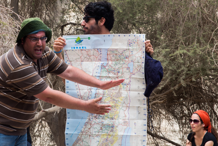
The map shows the 1949 ceasefire line separating Israel and the West Bank as a dark red dotted boundary, while a more lightly shaded green dotted line marks off the Golan Heights and East Jerusalem, areas that Israel captured in the 1967 Six Day War and later annexed.
A key calls the red dotted line Israel’s “sovereignty border.”
An inset showing major population centers in the region also features a line marking off the West Bank. A second inset shows Tel Aviv at street level magnification.
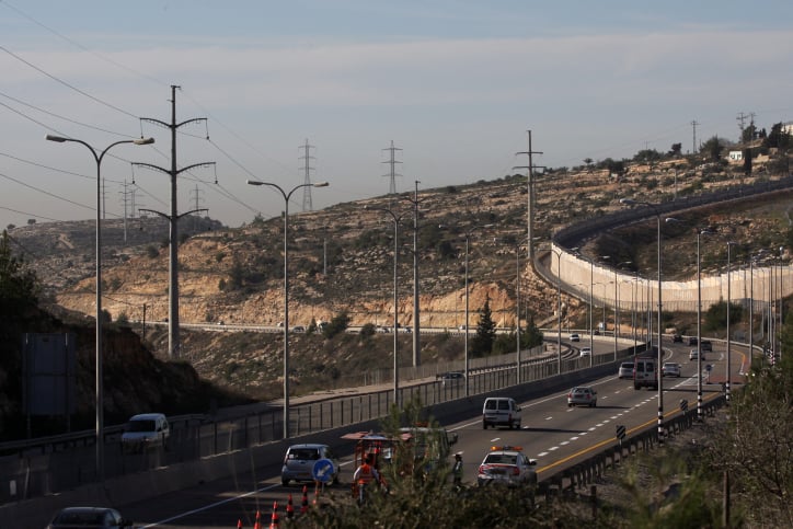
While Israel has never annexed the West Bank, captured from Jordan in the 1967 Six Day War, it has partially integrated the territory by other means, extending its laws and norms to areas outside of Palestinian Authority control. Official government maps do not show the Green Line, though there is a network of army checkpoints and security barriers that essentially separate Israel from the West Bank on the ground.
“It is important to us that the students get to know the limits of Israeli sovereignty and the complex reality in the areas where Jewish citizens of Israel live alongside Arabs under the control of the Palestinian Authority,” Huldai, the mayor, wrote in a letter to schools, according to Haaretz.
The map, he said, can be used “for historical, geographical, linguistic discourse — and even topical issues, about alliances, agreements, conflicts, and policy issues that are at the heart of public discourse.”
Shai Alon, head of the Beit El settlement local council, criticized the map, telling the Walla news outlet that the Tel Aviv municipality’s move was a product of “political instability and the lack of political horizons vis-à-vis the Palestinians.”
“Various parties… manage the conflict as they see fit and lead to the chaos that prevails as far as the Palestinian Authority is concerned,” he said.
The Education Ministry rejected use of the map in a statement Monday, saying it had not been approved for academic purposes and “not even as a poster on the walls.”
It called the schematic “amateur,” and accused the municipality of “tendentious use” of the term “sovereignty border.”
The ministry stressed that the only approved authority for producing official maps is the Survey of Israel.
Maps displayed in classrooms are usually provided by local authorities and tend to be Survey of Israel maps. Those produced by private companies also do not show the Green Line.
Work on the contested map began two years ago at the initiative of deputy mayor Chen Arieli and director of the municipality’s education administration, Shirli Rimon.
(Michael Giladi/Flash90)
“Instead of censoring reality, the map enables discourse on it,” Arieli told Haaretz. “We can’t force schools to use the map, but we have a duty to enable discourse about it.”
In 2007, education minister Yuli Tamir of the Labor party ordered that maps in schools show the Green Line, drawing criticism from the right. However, the move was not implemented before Gideon Sa’ar, a nationalist who opposes Palestinian statehood, took over the post two years later.


")
")
")
")
")
")
")
; Right: US President Donald Trump in the Oval Office of the White House in Washington, June 4, 2026. (AP Photo/Julia Demaree Nikhinson)")
The Times of Israel Community.