

Google Street View returns to map out Israel
Justice Ministry sets conditions for Google’s 3-D mapping, amid concerns over terrorist use of service to plan attacks
- See more Times of Israel on Google - add us as a Preferred Source
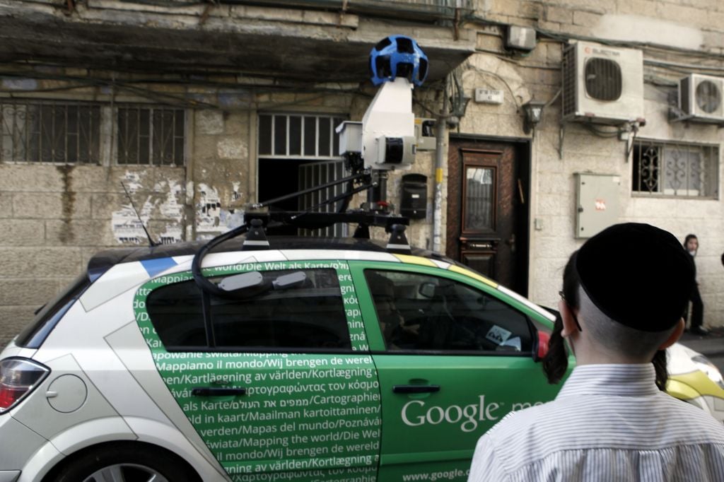
Google Street View car driving through the Jerusalem neighborhood of Mea Shearim, November 13, 2011. (photo credit: Uri Lenz/FLASH90)
Google Street View returned to Israel three years after it first photographed the nation’s streets.
The Google cars and tricycles, fitted with 360-degree cameras to take panoramic images, will visit Tel Aviv, Jerusalem, Haifa and other cities in order to update the online mapping tool.
Google Street View provides a 3-D view of buildings, landmarks and streets around the world. The images from Israel were posted on the Internet in April 2012.
Israel’s Justice Ministry set several conditions for its approval to photograph city streets, including the right for Israelis to request further blurring of residences and license plates. Israeli officials reportedly had been concerned that terrorists would use the service to plan attacks in Israel.










read more:
If you’d like to comment, join
The Times of Israel Community.
The Times of Israel Community.
JOIN THE TOI COMMUNITY
Already a member? Log in here