

Ahead of Nakba Day, Gaza seeks world record with largest map of ‘Palestine’
Calling Israel ‘an appendix’ that must go, minister aims to remind coming generations of the ‘true’ contours of their land
 Add ToI as a Preferred Source on Google
Elhanan Miller is the former Arab affairs reporter for The Times of Israel
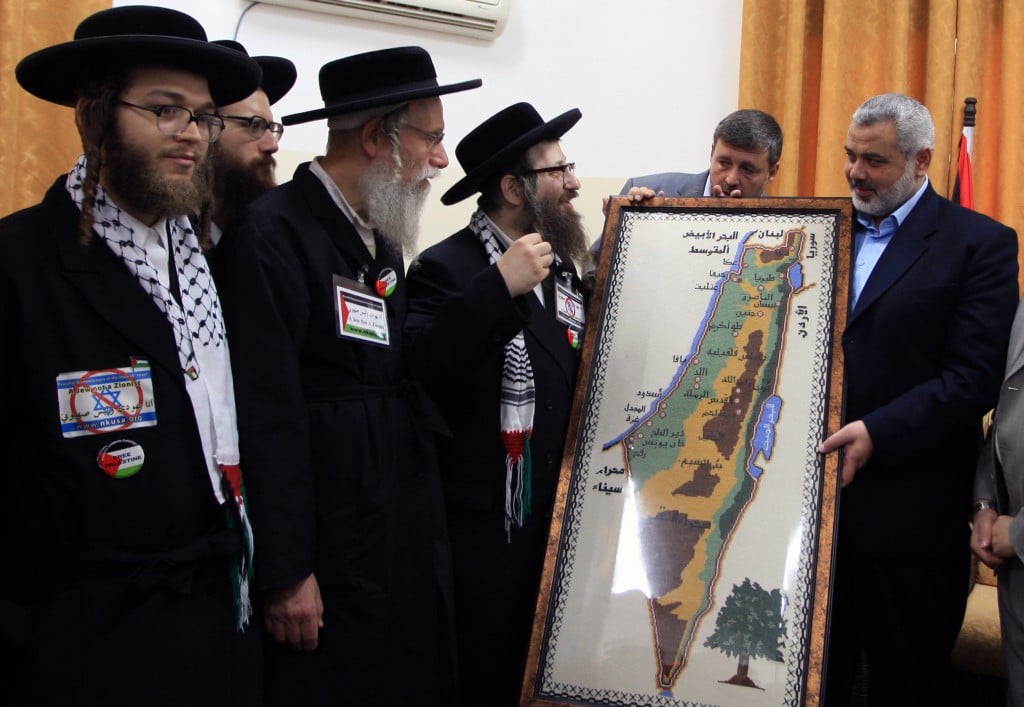
Hamas on Wednesday launched its preparations for next week’s Nakba Day — the Palestinian term denoting the catastrophe of Israel’s creation, marked on May 15 — with the inauguration of a gigantic map of “Palestine” which its creator hopes will enter the Guinness Book of World Records.
The map, a massive 200 square meters (2,150 square feet) in size, was unveiled by Hamas Minister of Prisoner and Refugee Affairs in Gaza, Atallah Abu-Sabh. It was part of a festival organized by Hamas’s Refugee Affairs Department under the auspices of Gaza Prime Minister Ismail Haniyeh, the Maan News Agency reported.
Abdullah Bashir Hamad, the Gaza resident who initiated the map, said he came up with the idea when observing a world atlas “full of falsifications” and decided to instill the love of Palestine in the young generation through “a real map.”
An Arabic map displayed on Maan’s website clearly identified the West Bank and Gaza Strip, but omitted any mention of Israel or its main cities.
Minister Abu-Sabh used the map in his speech to symbolize the future of the region. “Israel is nothing but an appendix which must be gotten rid of,” he told the crowd. “It is a passing, temporary project that cannot last under any circumstance.”
The largest map printed to date, 66 square meters (710 square feet) large, was created in Croatia in 2007.









The Times of Israel Community.