

IDF apologizes for portraying Golan as outside Israel
Army says ‘honest mistake’ led to Heights being marked as disputed territory, stresses map does not reflect the military’s position
 Add ToI as a Preferred Source on Google
Judah Ari Gross is The Times of Israel's religions and Diaspora affairs correspondent.
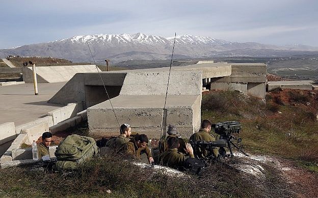
The Israeli military on Sunday apologized for a map it produced the night before in which the Golan Heights does not appear as fully part of Israel.
A military spokesperson said it was an “honest mistake” and was in no way indicative of the Israeli army’s position on the status of the Golan Heights.
“Yesterday during the production of an illustration to show the air force’s attacks in Syria, an honest mistake was made and the wrong map was used,” the army said in a statement.
“Naturally, there was no intention behind sending out the map as it was. We regret the error, and it has been corrected,” the military said.
The map, sent to reporters, showed four sites in Syria that were targeted in a series of Israeli reprisal raids after, first, an Iranian drone violated Israeli airspace and then an Israeli F-16 was apparently shot down by Syrian air defenses.
IDF releases map of sites targeted in Saturday's strikes, notably SA-5, SA-17 and SA-2 batteries, as well as the mobile command unit from which the army says an Iranian operator flew a drone into Israeli airspace. pic.twitter.com/kFOHiwbPpb
— Judah Ari Gross (@JudahAriGross) February 10, 2018
In the document, the Golan Heights, which Israel captured from Syria in 1967 and formally annexed in 1981, is portrayed as a disputed territory, with clear borders separating it from the rest of Israel and coloring as though it were both Israeli and Syrian.
Israel’s annexation was never recognized by the international community and, as such, it generally appears in open-source maps as disputed territory.
The officer noted that the map was created late at night, which contributed to the error. It was not widely distributed.









The Times of Israel Community.