

Israeli universities develop satellite tool to survey Mediterranean vegetation cover
Jewish National Fund says that combined with field surveys every 5 years, new tool can shorten data-collection times and improve accuracy
 Add ToI as a Preferred Source on Google
Sue Surkes is The Times of Israel's environment reporter
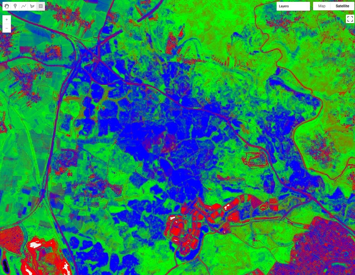
Researchers from several Israeli universities have developed a platform that uses free satellite images to produce annual maps of vegetation cover for the KKL-JNF Jewish National Fund.
KKL-JNF manages over 1.5 million dunams (over 370,000 acres) of Israel’s forests. The maps classify land into coniferous or broadleaf trees, shrublands, herbaceous vegetation, and bare lands.
The online tool — developed by the Hebrew University, Reichman University, and Tel Aviv University’s Open Landscape Institute — allows users to view maps by year or vegetation type, and to download statistics.
Tests against field measurements and wildfire data confirm that the maps accurately reflect real-world conditions, the KKL-JNF says.
Shayli Dor-Haim and Roni Tal from KKL-JNF’s Forest Management and Information Department said the tool could help to shorten data-collection times and improve accuracy, but had to be combined with real-time field assessments conducted every five years.
A KKL-JNF spokesman said similar products available in the global market offered lower resolution and usually dealt with humid environments.
The new, home-grown product focuses on Mediterranean vegetation, he explained, adding that it holds potential for other areas in the world with Mediterranean biomes, such as Australia and California.









The Times of Israel Community.