

Heavy rains to resume after brief respite
Precipitation levels are well above the average for the winter so far; first snows fall on Mount Hermon
 Add ToI as a Preferred Source on Google
Lazar Berman is The Times of Israel's diplomatic reporter
Israel received a short reprieve from a wet, stormy week Tuesday morning, with more rain and wind expected throughout the rest of the week.
Rain fell across the country Monday, with Ashdod seeing the most precipitation, 29 millimeters as of 6:00 p.m. Jerusalem received 20 millimeters. Less rain fell in northern Israel, and the Negev desert saw almost no rain.
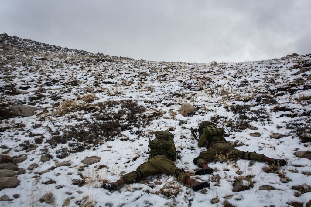
Meanwhile, the northern Mount Hermon got a first dusting of snow.
The stormy weather is expected to continue Tuesday, with periodic rain, including thunderstorms in the afternoon, from the Galilee to the northern Negev. It will continue to be colder than average, and Mt. Hermon will see more snow.
Tuesday night is expected to be stormy, with winds picking up. Rain and occasional thunderstorms will continue Wednesday and Thursday, with the system forecast to taper off Friday.
Winter rains are vital for Israel’s water reserves, and this winter is off to a good start. The Tel Aviv region has already received 37 percent of its annual average and Beersheba 25%. The area around the Sea of Galilee has seen one-fifth of its yearly total. Jerusalem is lagging behind with 13%.
The totals are well ahead of the average rainfall for this point in the year. Tel Aviv has seen more than double the average precipitation for this point in the year, while Haifa has received 150%. Jerusalem is also enjoying a relatively wet winter so far, and stands at 136% of the average.
The Sea of Galilee, Israel’s largest freshwater lake, stands at 212.865 meters below sea level, close to the -213 meter red line, at which point no more water is legally permitted to be pumped from the lake. The level is expected to rise throughout the winter.









The Times of Israel Community.